Categories
Technik Technology Things

Webasto Luftheizung im Landrover Defender Puma

Hier sind schon einmal ein paar Bilder (leider nicht so gut, hette zu wenig Zeit) – Text folgt später

so sieht sie aus, die Webasto Luftheizung


Sie soll unter die Cubby box, ein entsprechendes Gehäuse wurde extra bestellt


Bei der Gelegenheit werden auch die Kabel für die Zweitbatterie eingezogen


Ausschnitte in das Originalblech (unter der Cubby Box)


Vormontage auf der Werkbank. Niedlicher Schalldämpfer.


Montage der Pumpe geschützt am Rahmen


Die Herausforderung. Um sich den Tankausbau zu sparen, wurde ein Tankentnehmer in ein Edelstahlrohr eingesetzt und diese in die Leitung zwischen Tank und Tankstutzen eingeschleift.

Fertig.


Categories
gerneral Technology Things

Goods and Vehicle tracking 1996 – 2013. Where are the innovations, please?

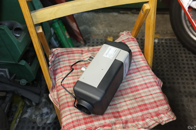
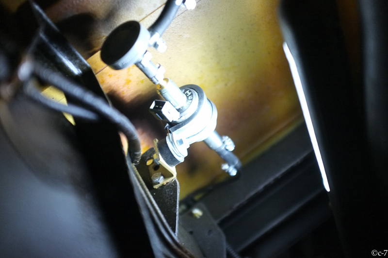
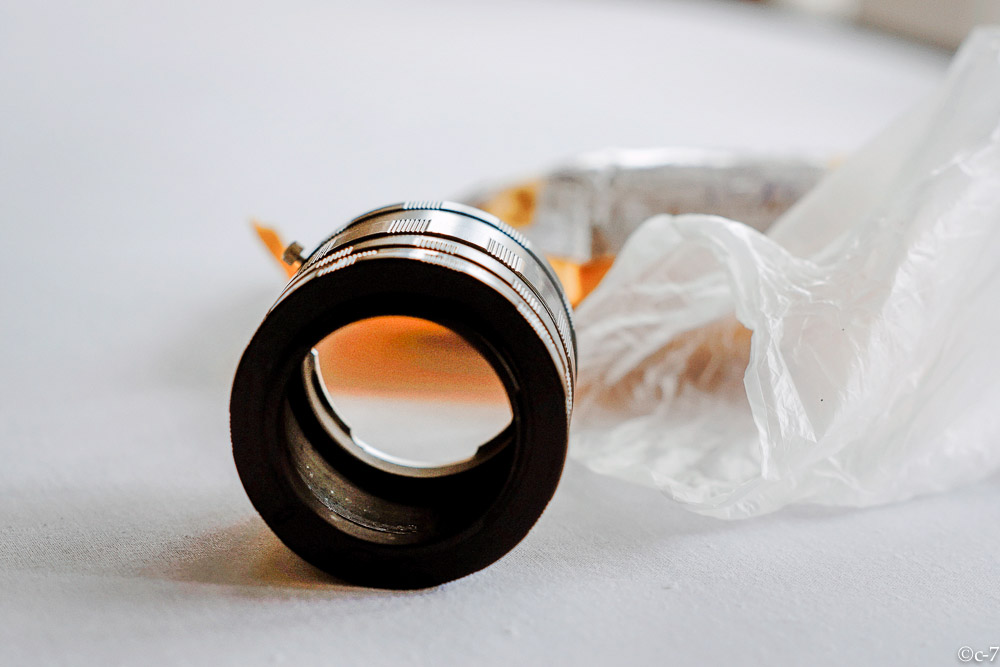
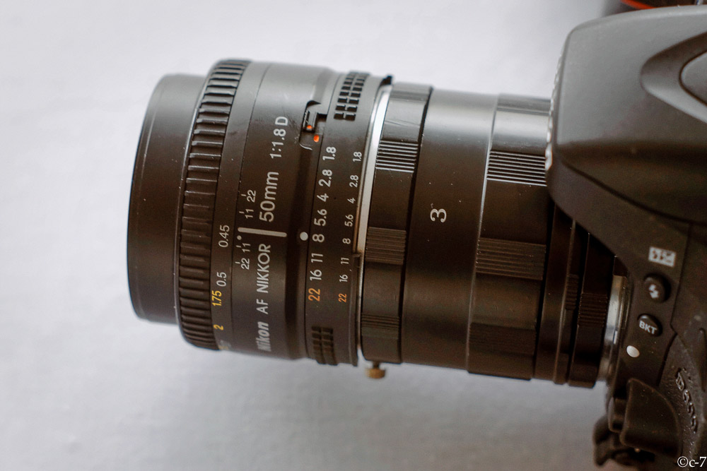
Today, i’ve received the first unit of the new series of tracking devices which will be used for material and vehicle tracking. With its autonomous operation of roughly 60 days and various sensing capabilities, like movement and shock it’s ideally suited for this purpose.

However it’s an nice example, how long actually technology trigger need until systems finally reach the broad marked.

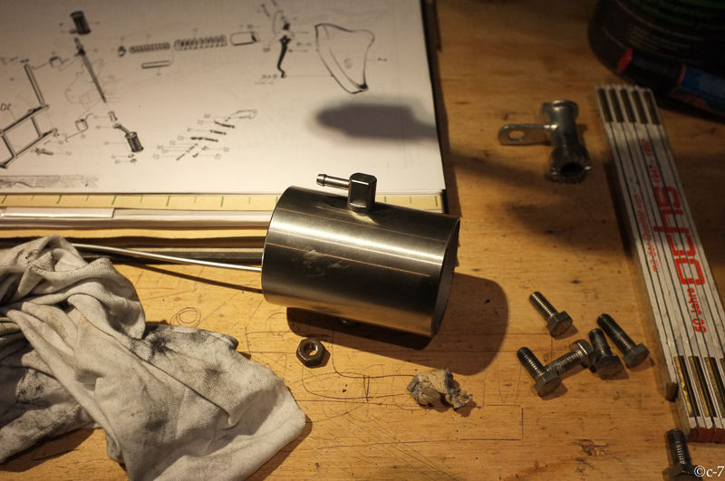
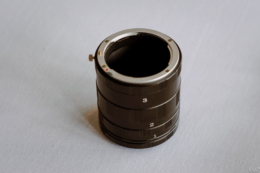
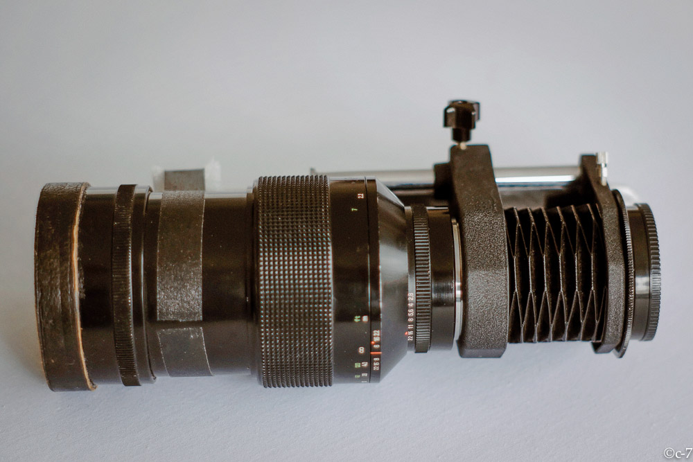
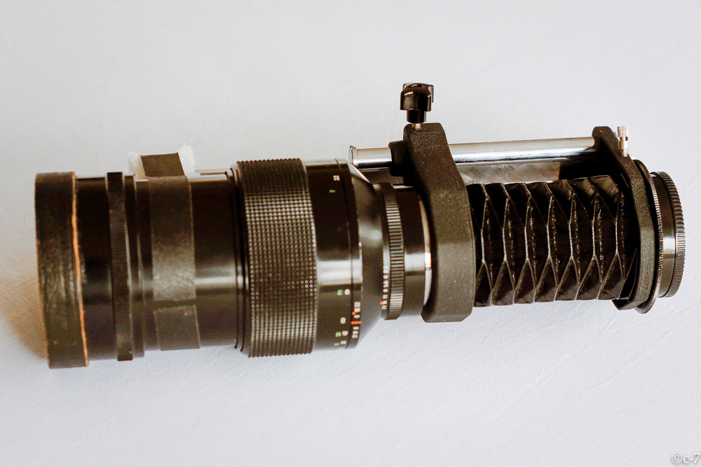
Below is a picture of main tracking unit of the system which I developed and prototyped almost 20 years ago. It was called TaPos – the German acronym for “Teilautonomes Positionserfassungssystem” (if you are interested in details, you may find the project description in the www – in German).
Ok, the form factor of the main tracking unit is different but it had exactly the same – to be precise, even more – features.

It was the innovative prototype of an vehicle, container tracking and logistics management system which also would have helped to optimise traffic flow and reduce the carbon (co2) emission. However, at this time (before the Internet hype) it was nearly impossible to find risk investors in Germany for innovative solutions.
An request for support through an innovation funding programme was technically analysed as future oriented system but no financial commitment was made at the end of the day (after many good words and long delay of almost three years).

For those who don’t remember the technology landscape in 1996:

Linux is already 4 years old, in 1996 kernel version 2.0 was published, Php was one year, Version 2 was about to be published.

Eight years before google maps started 2004, TaPos used a public available sub-set of the US DoD digital chart of the World, transformed from file-structure-data onto an DBase like database for fast access.

SIEMENS just released (expensive) GSM engines, we used modified Sagem Phones

The ISM frequency band had just been opened in Germany, there were almost no OEM modules for data transfer – all the the protocol handler had to be developed from scratch.

The java programming language was in beta 1995, JDK 1.0 was released 1996. The web-mapping was using Java, the rest like position calculation or position-to-speech (for telephone access to the current location database) was written in C.

Now, almost 20 years later, inexpensive tracking systems are produced in china, fits the purpose but still does not have all the features the TaPos prototype had.
Key is still to manage the tracking data intelligent and efficiently.

Some thoughts about the innovation landscape in Germany and the EU
There was (and I am afraid to say – there still is) no culture in believe in innovation capability in Germany and most of the EU outside industry and academia. They receive the most of innovation funding and produce acceptable results and ease administration.
Some years ago, my only advice to someone who has a bright idea would have been: go directly to the US or find at least US investors – there are a lot of good examples from the past.
Now, there are far more options. Thanks to the www there are many crowd funding platforms which may help to bring a good idea to marked – but be careful who will own your idea at the end of the day and who will benefit.
(Pictures to follow)

Categories
Export Photography Things Uncategorized

YES-YOU CAN Photography tricks and techniques that really work – macro photography using extension tubes

If you are starting with macro photography, you may start looking for the right equipment. Maybe you have a point-and-shoot camera or any other camera with an build in fixed lens, then you probably have an macro mode of the camera.

For cameras with interchangeable lenses, like Nikon, Canon or Sony you can buy very nice macro lenses for $$$ or just an set of extensions tubes for $ (starting at 5-10 $ / EUR in some China shops).

Of course, you will need other things too. An good tripod is important. Maybe some remote shutter release is also nice to have. This article leaves all this out and concentrates on the extension rings.

The floral pictures below were taken form a distance of approx one meter with extension rings and an 200mm telephoto-lens.


But – one after the other.

I have purchased a set of extension tubes for Nikon bayonet in China. Delivery took about 10 days. The price was around 8 US $, it passed through customs without problems.

I have ordered the simplest rings / tubes. They are mechanical, they do not transmit focus or aperture information to the camera. You have to set this manually. This is not a problem, you don’t really need auto-focus in macro mode.


the tubes have no glass elements.


they have different length – by combining them you get different macro / magnification levels.


for this demonstration, I have used the Nikon Nikkor 50mm f/1.8d


this is the set-up without extension tubes


and this the resulting picture


now using different tube combinations


don’t forget – aperture and focus can only be set manually now (check your lens)


you will get much closer to the object


getting more details


even closer


getting even more details.

Try different non-macro lenses and ring combinations. Below are some examples of what is possible


Instead of extension tubes, you may also use bellows which give a bit more flexibility but you may need to modify them to adopt to your camera


Categories
Art Culture Photo Walk Photography Technology Things

02MAR2013 Photoresk going Museum Night Brussels

Brussels museum’s open from 19:00 to 01:00.
Photoresk met at 19:00 at the MIM (Music Instruments Museum) and ended at 00:00 at Autoworld (after 5 hours museum too tired for the after party starting at 02:00)


workplace


wonderful instruments


at 22:00 people still cueing (we got our ticket at the internet)


we ran unexpectedly into a fashion design show


and the models where happy to pose at this public event


nice designs


nice venue


later – Autoworld!


not only beautiful vintage vehicles but also flying artists


happy landing


If you want to learn more about Photoresk – Brussels Photography, check out this site: http://www.meetup.com/Photoresk/

Categories
Flying Photography Technology Things UAS

UAS-Model (UAS-M) recovered after loss of control and subsequent crash

BäumeI am using a small Unmanned Aerial System Model (UAS-M) for Aerial Photography. The world looks different from above. Carrying a modified Canon allows automatic serial capture of images. The first test flight with the new folding frame was successful. The flight behaviour was excellent and the system would become back-pack transportable. A load test and camera flight was conducted after this initial test. After approx. 5 minutes of flight, height ca. 50 meter AGL, distance 100 meter control was lost. Several attempts were made to re-gain control but neither manual nor GPS controlled coming home did work. The platform kept hoovering slowly away. Hight control did still work but the platform was over a corn field and at this point in time an emergency landing in the field seemed not to be a viable option. However, instead following it on the ground, time was wasted with attempts to re-gain control. The platform kept moving away towards a wooded valley and sight was lost approx. 20 minutes after take off at a distance of ca. 800 meter.
The valley is covered by a dense forest with some meadows, a abandoned rail-road and a little river. A small road with not much traffic (5-10 vehicles / hour) leads through it.

During crash
automatically taken during decent/crash

When the sight to the UAS-model was lost, the actual position could only very roughly estimated. The tolerance could be a a couple of hundred meter in either direction with high trees, water and a steep hill. Furthermore it was nor clear if it came down immediately or kept flying for some minutes more.
At this time the chance to recover the UAS-model was close to zero. Neither the 5GHz video link nor the autonomous GPS/GSM tracking device, which could have reported the actual position through a telephone call/SMS were installed.
Dense woods and even a small river in the valley.
Nevertheless, we had to do ‘something’ and started the search by driving through the valley by car. Already after five minutes we were lucky to pick-up the signal from the telemetry downlink! We interpolated the closest distance / strongest signal by driving up and down the road and finding the mid-point between the points where the signal was getting weaker and got finally lost. Now we were again optimistic and – while stopping the car at the estimated closest point to the crash-zone of the UAS-M we already thought about some strategies for a systematic search considering the time left for battery power for the telemetry and also getting the ropes for recovering it from a tree.
Recovery
What than happened was a real surprise. While getting out of the car, we switched off the remote control. This forces (if not damaged) the UAS-M to switch on the loss-of-signal-warning beeper. And this was exactly what happened. We could hear the sound! The UAS-M had come down just two meter beside the road in the grass! Not on the road and not in the trees nearby! A almost perfect landing. Only damage: one broken boom!

recovery
recovery. It went down three meter beside the road

Analysis
The post incident analysis showed the following: The rubber-studs on which the electronic components are mounted, failed and the complete electronics module with GPS, giros and accelerometer dis-integrated from the frame, leaving the module only connected by the electric wires to the battery and motors. Surprisingly this did not lead to an immediate crash. The UAS-model drifted out of range, the “GPS coming home on signal loss” did not work probably because the electronics part was freely moving. However, the height control was not affected, the platform stayed, controlled by barometric pressure, at the same flight level (over the valley at about 90m AGL) until the main power was insufficient to keep the UAS-M airborne.

damage

20120812-015503.jpg